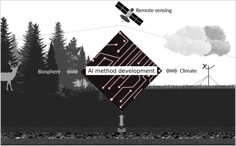


Our research focuses on the combination of remote sensing data and modelling methods to detect landscape-ecological patterns and processes, as well as on the necessary developments in methodology. This includes the following two subject areas:
On this page you will find an overview of our current research projects


Project lead: Hanna Meyer, Norbert Hölzel
Team@ILÖK: Jan Linnenbrink, Marvin Ludwig, Norbert Hölzel, Lena Neuenkamp, Hanna Meyer
Funding: DFG (Biodiversity Exploratories)
Term: 2023 - 2026

Carbon-4D: A landscape-scale model of soil organic carbon mineralization in space, depth, and time
Project lead: Hanna Meyer, Nele Meyer (University of Bayreuth)
Team@ILOEK: Maiken Baumberger, Hanna Meyer
Funding: DFG
Term: 2021 - 2024

Spatio-temporal transferability of satellite-based AI-models
Project lead: Hanna Meyer, Edzer Pebesma (IfGI)
Team@GEOI: Marvin Ludwig, Jonathan Bahlmann, Hanna Meyer, Edzer Pebesma
Funding: BMWi
Term: 2021 - 2023

Restoring peatlands of the nemoral zone under conditions of varying water supply and quality
Project lead: Subproject remote sensing: Jan Lehmann, Hanna Meyer
Team@ILÖK: Laura Giese, Jan Lehmann, Hanna Meyer
Funding: DFG - BiodivERsA (ERA-Net Cofunds)
Term: 2022 - 2025

Geo1Copter - Use of Unmanned Aircraft Systems (UAS) for high-resolution remote sensing in landscape ecology applications
Project Lead: Jan Lehmann
Team@ILÖK: Jan Lehmann, Hanna Meyer, Henning Schneidereit
Term: ongoing
Further information: To the project homepage

Project Lead: Antarctica New Zealand
Team@ILOEK: Maite Lezama Valdes, Hanna Meyer (International Partner within the objectives „Ecological connectivity across scales“ and „Meteorology, Climatology and Aeolian transport")
Term: 2019 - 2025
Further information: To the project homepage
LOEWE-focus Natur 4.0
Conservation monitoring through networked sensors as a basis for sustainable biodiversity protection and securing ecosystem functions.
Laufzeit: 2019 - 2022