
Project EMBER-SIM (2024-2025)
Simulating fire spread across forest and grassland ecosystems
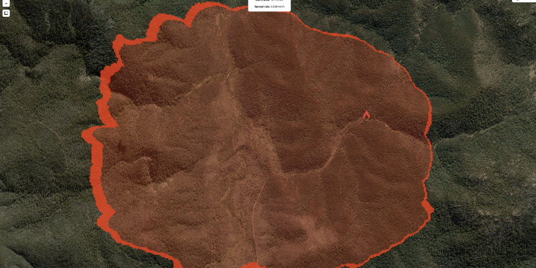
Due to climate change the intensity and frequency of bushfires are increasing globally. Modeling bushfire spread is a multifaceted approach that involves public safety, resource management, conservation, and environmental protection. It provides valuable insights for decision-makers, emergency responders, and communities to better prepare for and respond to wildfires. In EMBER-SIM we aim to develop an interactive web-based fire spread simulation tool, suited for forest and grassland ecosystems.
This project is a collaboration with the Institute of Geoinformatics of the University of Münster.


